


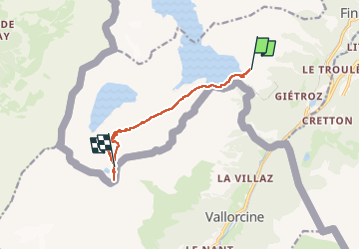

31 km | 52 km-effort


FREE GPS app for hiking
 SityTrail
IGN / Geographical institutes
SityTrail World
The world is yours!
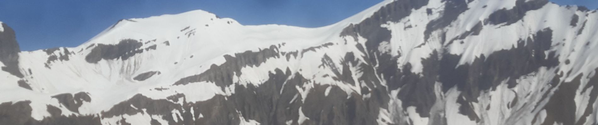
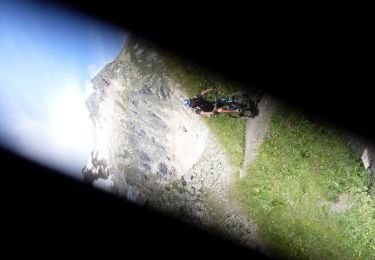
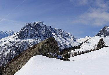
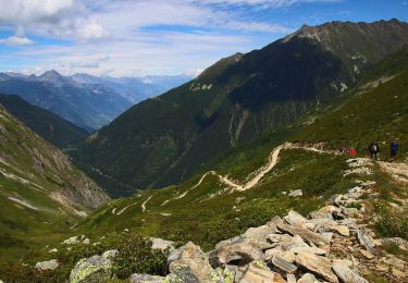
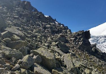
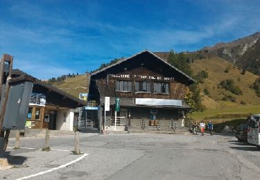
Trail Touring skiing of 8.7 km to be discovered at Valais/Wallis, Saint-Maurice, Finhaut. This trail is proposed by carton-fils@orange.fr.
superbe ski rando dans le valais


Mountain bike
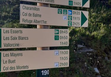
Walking
On foot
On foot
Walking
Walking
Walking
Walking

Walking