


Saint-Laurent-de-Lin - GRP Castelvalérie Lublé - 13.3km 70m 3h00 (35mn) - 2023 05 27

Orcal37
User GUIDE
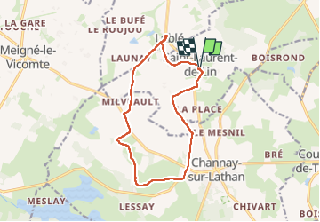

Length
13.3 km

Max alt
93 m

Uphill gradient
69 m
Km-Effort
14.3 km

Min alt
77 m

Downhill gradient
69 m
Boucle
Yes
Creation date :
2023-05-27 08:35:18.901
Updated on :
2023-05-28 14:42:36.776
3h00
Difficulty : Easy

FREE GPS app for hiking
 SityTrail
IGN / Geographical institutes
SityTrail Plus
The world is yours!
About
Trail Walking of 13.3 km to be discovered at Centre-Loire Valley, Indre-et-Loire, Saint-Laurent-de-Lin. This trail is proposed by Orcal37.
Description
Saint-Laurent-de-Lin - GRP Castelvalérie Lublé - 13.3km 70m 3h00 (35mn) - 2023 05 27
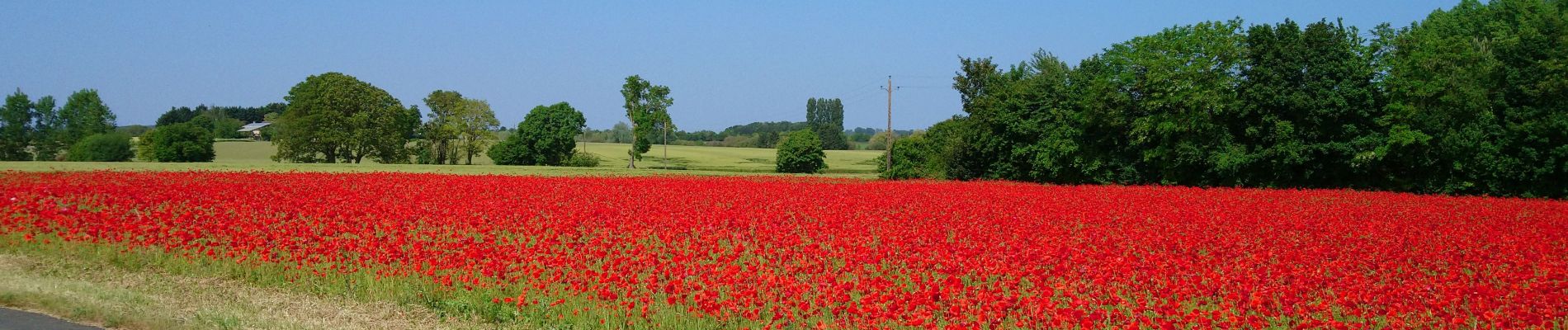
Photos
 - 2023 05 27 - Photo 1")
 - 2023 05 27 - Photo 2")
 - 2023 05 27 - Photo 3")
 - 2023 05 27 - Photo 4")
 - 2023 05 27 - Photo 5")
 - 2023 05 27 - Photo 6")
 - 2023 05 27 - Photo 7")
 - 2023 05 27 - Photo 8")
 - 2023 05 27 - Photo 9")
Positioning
Country:
France
Region :
Centre-Loire Valley
Department/Province :
Indre-et-Loire
Municipality :
Saint-Laurent-de-Lin
Location:
Unknown
Start:(Dec)
Start:(UTM)
293517 ; 5265162 (31T) N.
Comments