


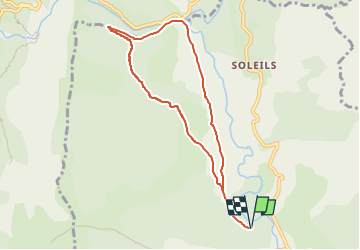

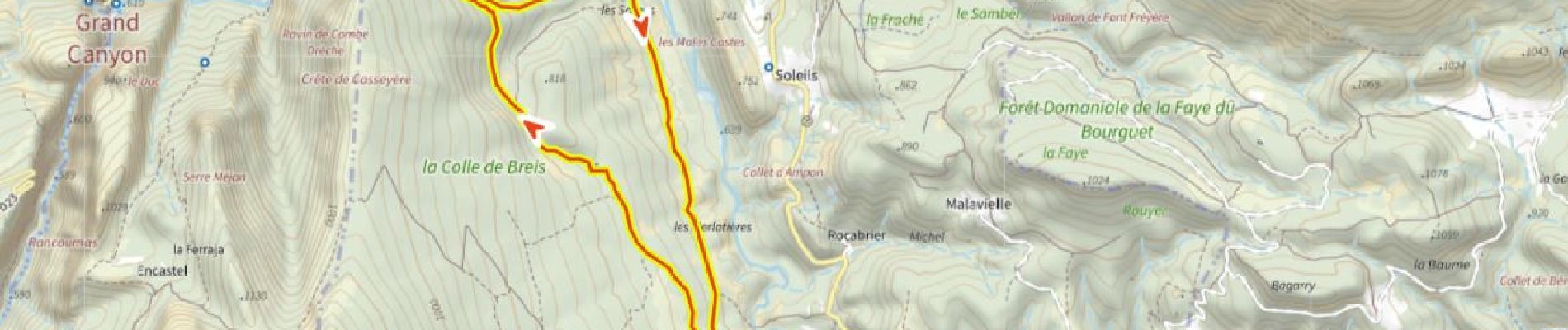
12.1 km | 26 km-effort

User


FREE GPS app for hiking
 SityTrail
IGN / Geographical institutes
SityTrail World
The world is yours!
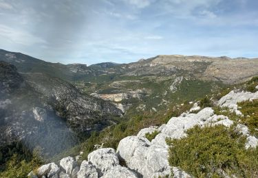
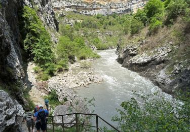
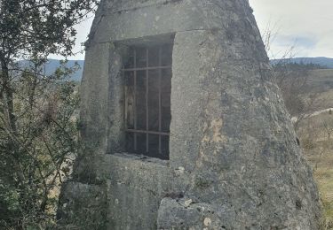
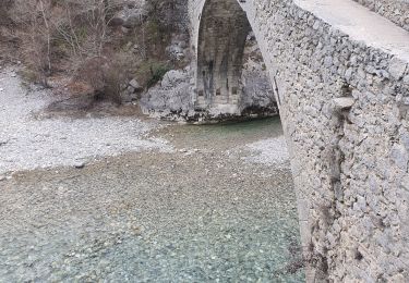
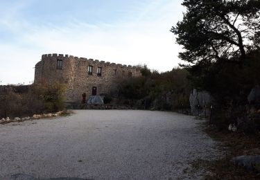
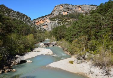
Trail Walking of 8.1 km to be discovered at Provence-Alpes-Côte d'Azur, Var, Trigance. This trail is proposed by ericberlin.
Balade facile non balisée.
Vue imprenable sur les nombreux vautours
Jumelles recommandées.


Walking

Walking

Walking
Walking
Walking
Walking
Walking
Walking
Walking