


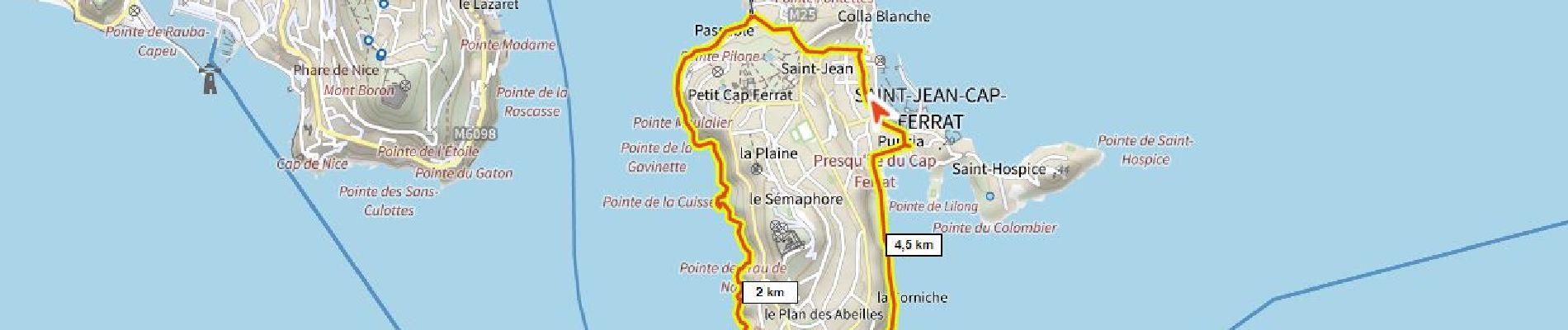
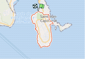
Cap Ferrat D+150m le tour

ericberlin
User

Length
6.4 km

Max alt
46 m

Uphill gradient
144 m
Km-Effort
8.3 km

Min alt
-1 m

Downhill gradient
138 m
Boucle
Yes
Creation date :
2023-05-28 15:08:43.838
Updated on :
2023-06-05 13:37:31.888
1h53
Difficulty : Medium

FREE GPS app for hiking
 SityTrail
IGN / Geographical institutes
SityTrail Plus
The world is yours!
About
Trail Walking of 6.4 km to be discovered at Provence-Alpes-Côte d'Azur, Maritime Alps, Saint-Jean-Cap-Ferrat. This trail is proposed by ericberlin.
Photos

Positioning
Country:
France
Region :
Provence-Alpes-Côte d'Azur
Department/Province :
Maritime Alps
Municipality :
Saint-Jean-Cap-Ferrat
Location:
Unknown
Start:(Dec)
Start:(UTM)
365052 ; 4839218 (32T) N.
Comments