


mandelieu lanapoule

Danielba
User GUIDE
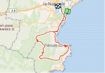

Length
20 km

Max alt
280 m

Uphill gradient
518 m
Km-Effort
27 km

Min alt
0 m

Downhill gradient
522 m
Boucle
No
Creation date :
2023-05-29 08:30:01.413
Updated on :
2023-05-29 14:54:29.288
6h12
Difficulty : Easy

FREE GPS app for hiking
 SityTrail
IGN / Geographical institutes
SityTrail Plus
The world is yours!
About
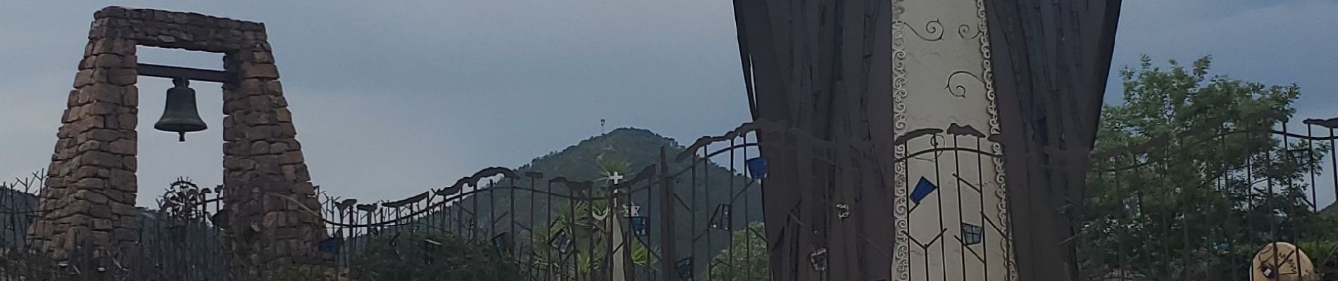
Trail Walking of 20 km to be discovered at Provence-Alpes-Côte d'Azur, Maritime Alps, Mandelieu-la-Napoule. This trail is proposed by Danielba .
Photos


Positioning
Country:
France
Region :
Provence-Alpes-Côte d'Azur
Department/Province :
Maritime Alps
Municipality :
Mandelieu-la-Napoule
Location:
Unknown
Start:(Dec)
Start:(UTM)
334112 ; 4821646 (32T) N.
Comments