


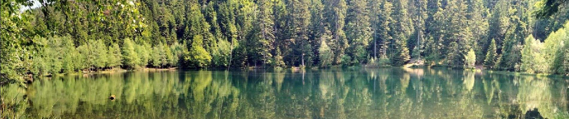
2023-05-29 Marche Les Minières Lac de la Maix

holtzv
User GUIDE
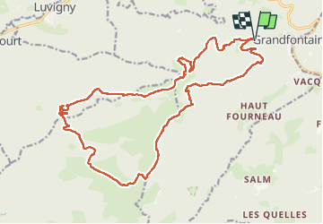


7h43
Difficulty : Medium

FREE GPS app for hiking
 SityTrail
IGN / Geographical institutes
SityTrail Plus
The world is yours!
About
Trail Walking of 22 km to be discovered at Grand Est, Bas-Rhin, Grandfontaine. This trail is proposed by holtzv.
Description
Marche en boucle à la journée au départ des Minières de Grandfontaine en passant par la tête Mathis, la chapelle de Bipierre, la tête des blanches roches et ses pierre à cupules, les hautes chaumes, le haut du Bon Dieu, le lac de la Maix pour la pause déjeuner, et la Corbeille avec ses blockhaus.
Photos


Positioning
Comments