


live Saugues - Lajo

djeepee74
User
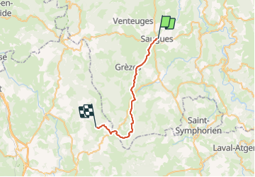

Length
27 km

Max alt
1350 m

Uphill gradient
749 m
Km-Effort
36 km

Min alt
927 m

Downhill gradient
478 m
Boucle
No
Creation date :
2023-05-30 06:31:17.761
Updated on :
2023-06-09 13:31:45.849
8h15
Difficulty : Difficult

FREE GPS app for hiking
 SityTrail
IGN / Geographical institutes
SityTrail Plus
The world is yours!
About
Trail Walking of 27 km to be discovered at Auvergne-Rhône-Alpes, Haute-Loire, Saugues. This trail is proposed by djeepee74.
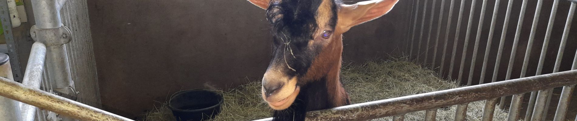
Photos


Positioning
Country:
France
Region :
Auvergne-Rhône-Alpes
Department/Province :
Haute-Loire
Municipality :
Saugues
Location:
Unknown
Start:(Dec)
Start:(UTM)
543144 ; 4978617 (31T) N.
Comments