


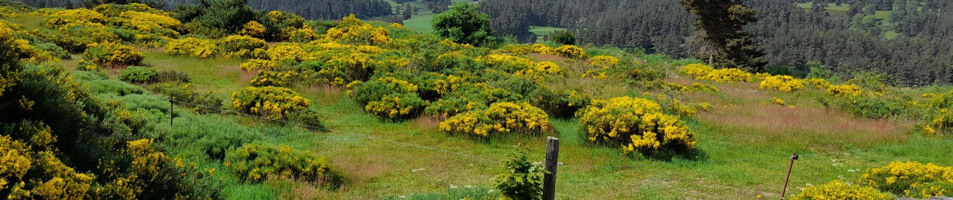
live Lajo - Aumont Aubrac

djeepee74
User
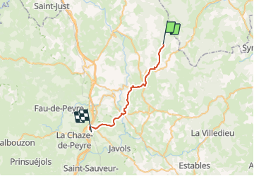

Length
26 km

Max alt
1240 m

Uphill gradient
489 m
Km-Effort
33 km

Min alt
918 m

Downhill gradient
674 m
Boucle
No
Creation date :
2023-05-31 06:08:54.733
Updated on :
2023-06-09 13:41:18.4
7h32
Difficulty : Difficult

FREE GPS app for hiking
 SityTrail
IGN / Geographical institutes
SityTrail Plus
The world is yours!
About
Trail Walking of 26 km to be discovered at Occitania, Lozère, Lajo. This trail is proposed by djeepee74.
Photos


Positioning
Country:
France
Region :
Occitania
Department/Province :
Lozère
Municipality :
Lajo
Location:
Unknown
Start:(Dec)
Start:(UTM)
533726 ; 4964977 (31T) N.
Comments