


Le Terme - Collet Redon

ARPF
User
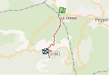

Length
3.1 km

Max alt
414 m

Uphill gradient
66 m
Km-Effort
4 km

Min alt
360 m

Downhill gradient
75 m
Boucle
No
Creation date :
2014-12-10 00:00:00.0
Updated on :
2014-12-10 00:00:00.0
52m
Difficulty : Unknown

FREE GPS app for hiking
 SityTrail
IGN / Geographical institutes
SityTrail Plus
The world is yours!
About
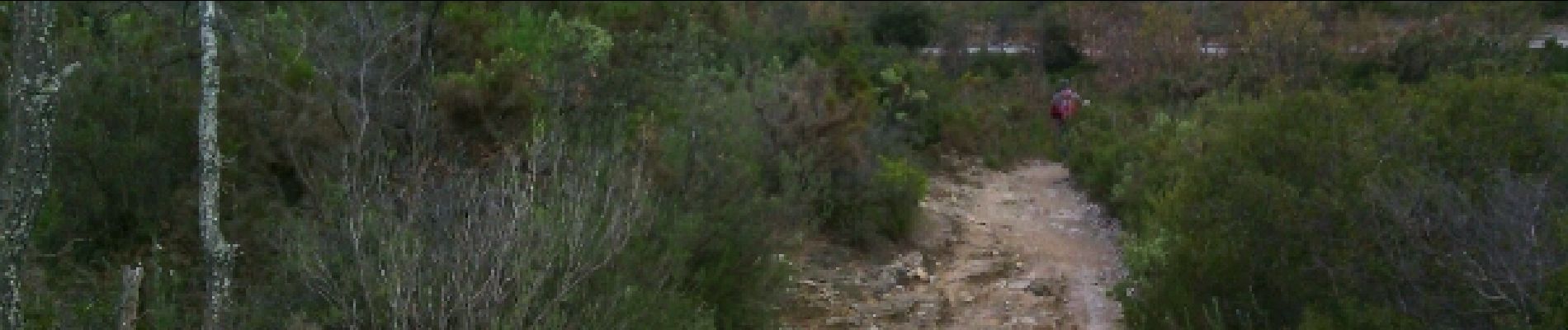
Trail Walking of 3.1 km to be discovered at Provence-Alpes-Côte d'Azur, Bouches-du-Rhône, Allauch. This trail is proposed by ARPF.
Description
Levée pour FFRP
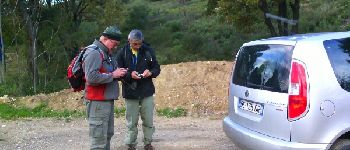
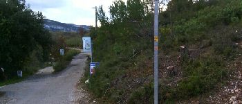
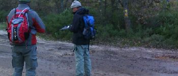
Photos


Positioning
Country:
France
Region :
Provence-Alpes-Côte d'Azur
Department/Province :
Bouches-du-Rhône
Municipality :
Allauch
Location:
Unknown
Start:(Dec)
Start:(UTM)
706786 ; 4806729 (31T) N.
Comments