


vaugneray la croix chatel

maclobar
User
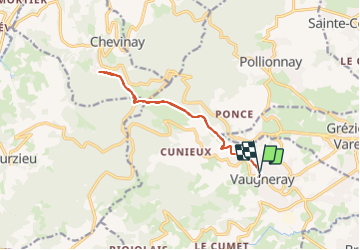

Length
12.9 km

Max alt
763 m

Uphill gradient
509 m
Km-Effort
19.7 km

Min alt
418 m

Downhill gradient
495 m
Boucle
Yes
Creation date :
2023-05-26 11:49:09.148
Updated on :
2023-06-06 23:02:11.376
3h08
Difficulty : Very difficult

FREE GPS app for hiking
 SityTrail
IGN / Geographical institutes
SityTrail Plus
The world is yours!
About
Trail Walking of 12.9 km to be discovered at Auvergne-Rhône-Alpes, Rhône, Vaugneray. This trail is proposed by maclobar.
Description
depart de vaugneray ensoleillé et en côte. passer Montferrat. ensuite plus d'ombrage
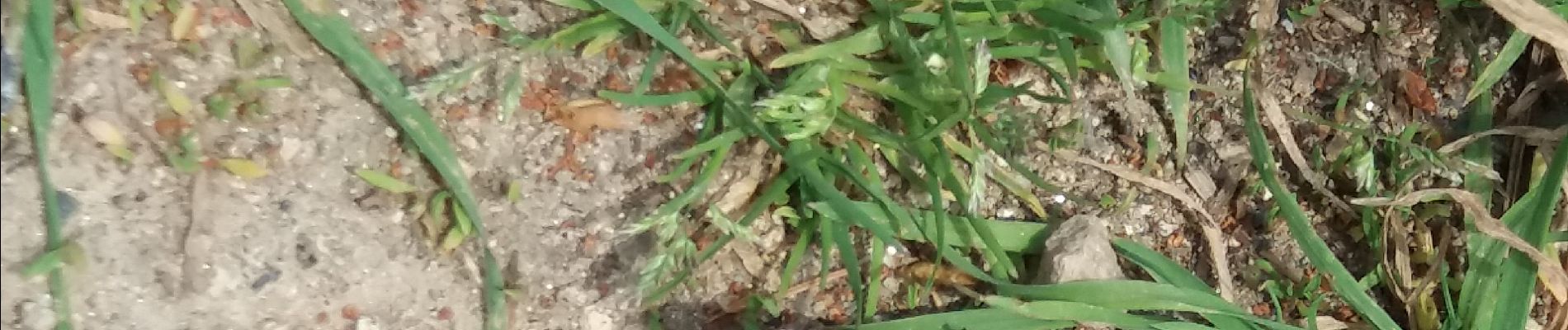
On aborde des bois progressivement. belle ballade encore une fois. fleurs des champs. Bois
Photos


Positioning
Country:
France
Region :
Auvergne-Rhône-Alpes
Department/Province :
Rhône
Municipality :
Vaugneray
Location:
Vaugneray
Start:(Dec)
Start:(UTM)
628892 ; 5066275 (31T) N.
Comments