


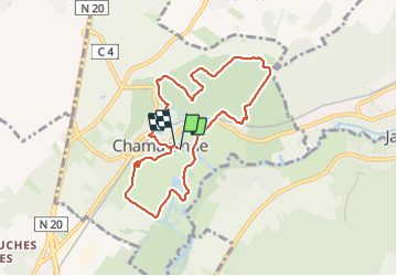
T Randonnée à Chamarande

CSR-94
User

Length
8 km

Max alt
154 m

Uphill gradient
158 m
Km-Effort
10.1 km

Min alt
59 m

Downhill gradient
152 m
Boucle
Yes
Creation date :
2023-06-03 07:43:46.556
Updated on :
2023-06-08 08:06:40.905
2h19
Difficulty : Medium

FREE GPS app for hiking
 SityTrail
IGN / Geographical institutes
SityTrail Plus
The world is yours!
About
Trail Walking of 8 km to be discovered at Ile-de-France, Essonne, Chamarande. This trail is proposed by CSR-94.
Positioning
Country:
France
Region :
Ile-de-France
Department/Province :
Essonne
Municipality :
Chamarande
Location:
Unknown
Start:(Dec)
Start:(UTM)
442433 ; 5373640 (31U) N.
Comments