


live Saint Chély - Saint Côme

djeepee74
User
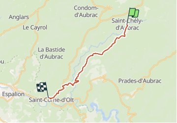

Length
16.9 km

Max alt
925 m

Uphill gradient
291 m
Km-Effort
22 km

Min alt
364 m

Downhill gradient
729 m
Boucle
No
Creation date :
2023-06-03 07:27:16.574
Updated on :
2023-06-09 14:19:11.515
5h03
Difficulty : Difficult

FREE GPS app for hiking
 SityTrail
IGN / Geographical institutes
SityTrail Plus
The world is yours!
About
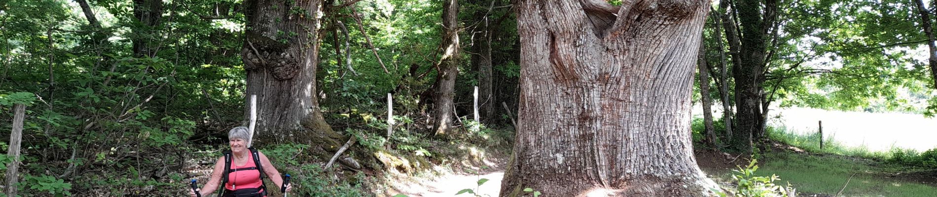
Trail Walking of 16.9 km to be discovered at Occitania, Aveyron, Saint-Chély-d'Aubrac. This trail is proposed by djeepee74.
Photos


Positioning
Country:
France
Region :
Occitania
Department/Province :
Aveyron
Municipality :
Saint-Chély-d'Aubrac
Location:
Unknown
Start:(Dec)
Start:(UTM)
493728 ; 4937428 (31T) N.
Comments