


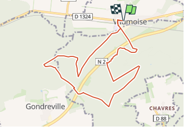


24 km | 29 km-effort

User


FREE GPS app for hiking
 SityTrail
IGN / Geographical institutes
SityTrail World
The world is yours!
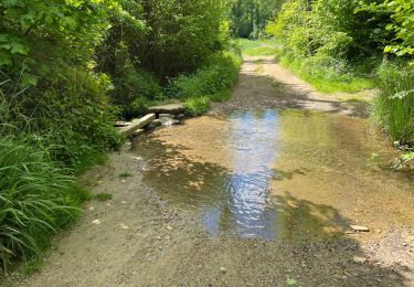
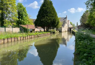
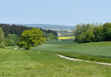
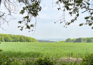
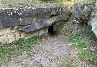
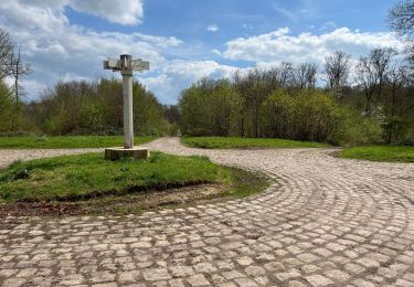
Trail Walking of 10 km to be discovered at Hauts-de-France, Oise, Vaumoise. This trail is proposed by Michel0452.

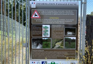
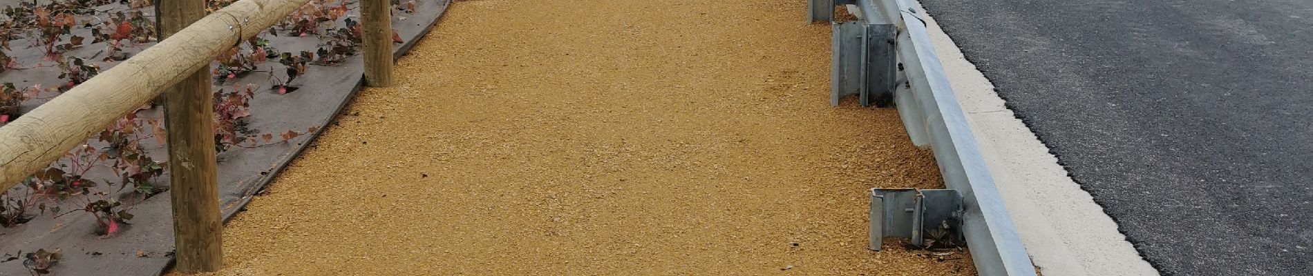
Walking
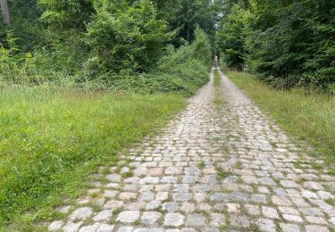
Walking
Mountain bike
Walking

Walking
Walking
Walking
Walking
Walking