


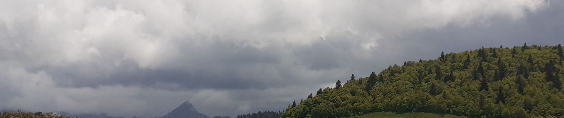
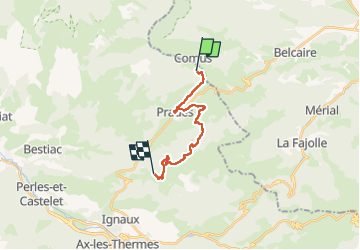
Comus Refuge de La Chioula GR 107 chemin des Bonshommes

tercla
User

Length
14.7 km

Max alt
1670 m

Uphill gradient
706 m
Km-Effort
23 km

Min alt
1180 m

Downhill gradient
300 m
Boucle
No
Creation date :
2023-06-04 07:16:11.983
Updated on :
2023-06-04 12:14:33.657
4h56
Difficulty : Very difficult

FREE GPS app for hiking
 SityTrail
IGN / Geographical institutes
SityTrail Plus
The world is yours!
About
Trail Walking of 14.7 km to be discovered at Occitania, Ariège, Prades. This trail is proposed by tercla.
Photos


Positioning
Country:
France
Region :
Occitania
Department/Province :
Ariège
Municipality :
Prades
Location:
Unknown
Start:(Dec)
Start:(UTM)
409458 ; 4739978 (31T) N.
Comments