


Retheuil > boucle forêt

DA FT
User
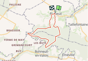

Length
12.8 km

Max alt
246 m

Uphill gradient
312 m
Km-Effort
16.9 km

Min alt
80 m

Downhill gradient
312 m
Boucle
Yes
Creation date :
2023-06-05 10:48:07.218
Updated on :
2023-06-05 10:58:28.024
3h50
Difficulty : Difficult

FREE GPS app for hiking
 SityTrail
IGN / Geographical institutes
SityTrail Plus
The world is yours!
About
Trail Walking of 12.8 km to be discovered at Hauts-de-France, Aisne, Retheuil. This trail is proposed by DA FT.
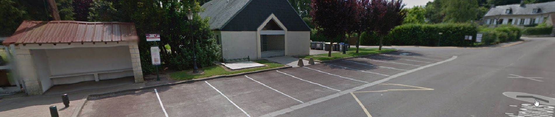
Photos


Positioning
Country:
France
Region :
Hauts-de-France
Department/Province :
Aisne
Municipality :
Retheuil
Location:
Unknown
Start:(Dec)
Start:(UTM)
500685 ; 5463263 (31U) N.
Comments