


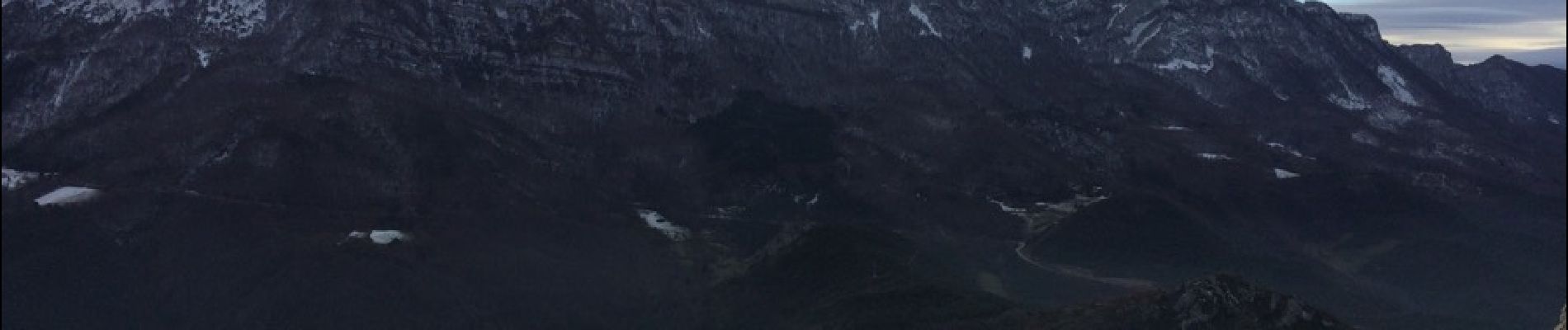
Rochers de Cresta

ajd26
User
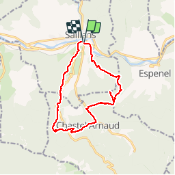

Length
14.8 km

Max alt
888 m

Uphill gradient
1016 m
Km-Effort
28 km

Min alt
274 m

Downhill gradient
1016 m
Boucle
Yes
Creation date :
2019-05-19 18:05:32.954
Updated on :
2019-05-19 18:05:34.557
6h03
Difficulty : Difficult

FREE GPS app for hiking
 SityTrail
IGN / Geographical institutes
SityTrail Plus
The world is yours!
About
Trail Walking of 14.8 km to be discovered at Auvergne-Rhône-Alpes, Drôme, Saillans. This trail is proposed by ajd26.
Description
Au départ de Saillans route de col de la Chaudière
Photos


Positioning
Country:
France
Region :
Auvergne-Rhône-Alpes
Department/Province :
Drôme
Municipality :
Saillans
Location:
Unknown
Start:(Dec)
Start:(UTM)
674239 ; 4951394 (31T) N.
Comments
Correction Le dénivelé réelle de la rando est de 1160m dont 200m pour accéder au sommet Ajd26