


Canal de Marseille (à essayer)

ericberlin
User
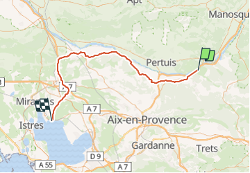

Length
79 km

Max alt
249 m

Uphill gradient
582 m
Km-Effort
88 km

Min alt
6 m

Downhill gradient
804 m
Boucle
No
Creation date :
2023-06-07 15:06:35.473
Updated on :
2023-06-07 15:13:58.162
19h54
Difficulty : Very difficult
6h04
Difficulty : Very difficult

FREE GPS app for hiking
 SityTrail
IGN / Geographical institutes
SityTrail Plus
The world is yours!
About
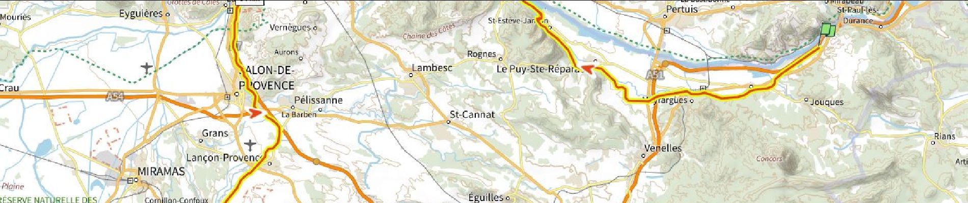
Trail Walking of 79 km to be discovered at Provence-Alpes-Côte d'Azur, Bouches-du-Rhône, Jouques. This trail is proposed by ericberlin.
Description
vérifier sur le terrain passages pieton et VTT
Photos
 - Photo 1")
Positioning
Country:
France
Region :
Provence-Alpes-Côte d'Azur
Department/Province :
Bouches-du-Rhône
Municipality :
Jouques
Location:
Unknown
Start:(Dec)
Start:(UTM)
713561 ; 4838904 (31T) N.
Comments