


la Chapelle Monthodon du 07/06/2023

VANDERPUTTENMi
User GUIDE

Length
12.5 km

Max alt
242 m

Uphill gradient
240 m
Km-Effort
15.7 km

Min alt
118 m

Downhill gradient
240 m
Boucle
Yes
Creation date :
2023-06-07 12:13:29.843
Updated on :
2023-06-07 17:10:39.342
3h34
Difficulty : Difficult

FREE GPS app for hiking
 SityTrail
IGN / Geographical institutes
SityTrail Plus
The world is yours!
About
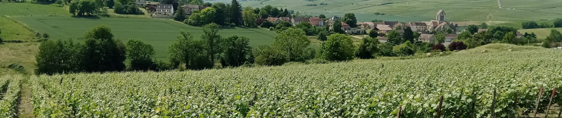
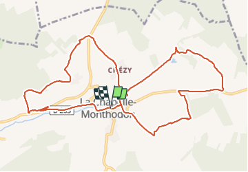
Trail Walking of 12.5 km to be discovered at Hauts-de-France, Aisne, Vallées-en-Champagne. This trail is proposed by VANDERPUTTENMi.
Photos

Positioning
Country:
France
Region :
Hauts-de-France
Department/Province :
Aisne
Municipality :
Vallées-en-Champagne
Location:
La Chapelle-Monthodon
Start:(Dec)
Start:(UTM)
546370 ; 5430215 (31U) N.
Comments