


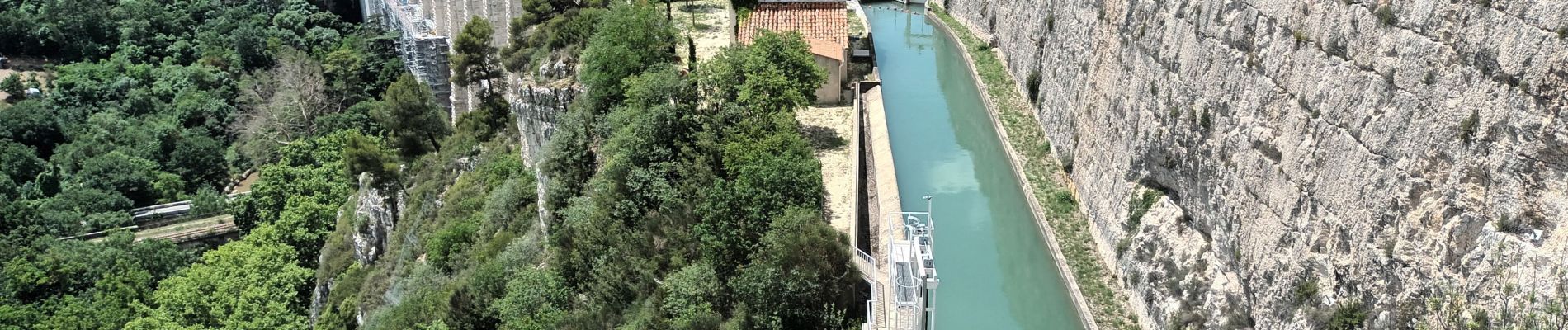
Panorama nord de Roquevafour

ericberlin
User
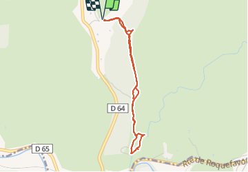

Length
3.7 km

Max alt
210 m

Uphill gradient
55 m
Km-Effort
4.4 km

Min alt
162 m

Downhill gradient
55 m
Boucle
Yes
Creation date :
2023-06-11 10:29:17.211
Updated on :
2023-06-11 11:44:11.516
1h14
Difficulty : Easy
1h14
Difficulty : Easy

FREE GPS app for hiking
 SityTrail
IGN / Geographical institutes
SityTrail Plus
The world is yours!
About
Trail Walking of 3.7 km to be discovered at Provence-Alpes-Côte d'Azur, Bouches-du-Rhône, Ventabren. This trail is proposed by ericberlin.
Photos


Positioning
Country:
France
Region :
Provence-Alpes-Côte d'Azur
Department/Province :
Bouches-du-Rhône
Municipality :
Ventabren
Location:
Unknown
Start:(Dec)
Start:(UTM)
686638 ; 4822339 (31T) N.
Comments