


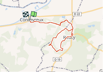


11.5 km | 14.4 km-effort


User


FREE GPS app for hiking
 SityTrail
IGN / Geographical institutes
SityTrail World
The world is yours!
Trail Walking of 9 km to be discovered at Hauts-de-France, Aisne, Concevreux. This trail is proposed by remi.servel.
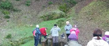
Rando du vin chaud (trés bon par ailleurs)organisée par sandrine


Walking
Running

Walking
Walking
Walking


sport
Walking