


Lavercq 11 juin 2023

rlebasque
User

Length
19.3 km

Max alt
2282 m

Uphill gradient
762 m
Km-Effort
29 km

Min alt
1579 m

Downhill gradient
752 m
Boucle
Yes
Creation date :
2023-06-11 06:40:49.503
Updated on :
2023-06-12 15:18:44.835
7h15
Difficulty : Very difficult

FREE GPS app for hiking
 SityTrail
IGN / Geographical institutes
SityTrail Plus
The world is yours!
About
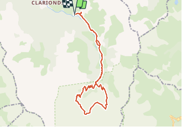
Trail Walking of 19.3 km to be discovered at Provence-Alpes-Côte d'Azur, Alpes-de-Haute-Provence, Méolans-Revel. This trail is proposed by rlebasque.
Positioning
Country:
France
Region :
Provence-Alpes-Côte d'Azur
Department/Province :
Alpes-de-Haute-Provence
Municipality :
Méolans-Revel
Location:
Unknown
Start:(Dec)
Start:(UTM)
300931 ; 4913623 (32T) N.
Comments