bdr09_Martina_Truebbach

My Switzerland
Optez pour le retour à la nature GUIDE+

Length
138 km

Max alt
3366 m

Uphill gradient
14417 m
Km-Effort
332 km

Min alt
480 m

Downhill gradient
14961 m
Boucle
No
Creation date :
2014-12-10 00:00:00.0
Updated on :
2014-12-10 00:00:00.0
--
Difficulty : Unknown

FREE GPS app for hiking
 SityTrail
IGN / Geographical institutes
SityTrail Plus
The world is yours!
About
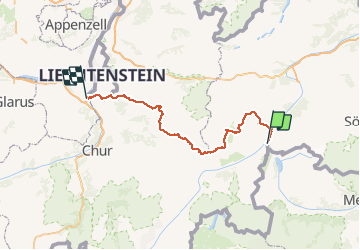
Trail Other activity of 138 km to be discovered at Grisons, Region Engiadina Bassa/Val Müstair, Valsot. This trail is proposed by My Switzerland.
Positioning
Country:
Switzerland
Region :
Grisons
Department/Province :
Region Engiadina Bassa/Val Müstair
Municipality :
Valsot
Location:
Unknown
Start:(Dec)
Start:(UTM)
611582 ; 5193342 (32T) N.
Comments