


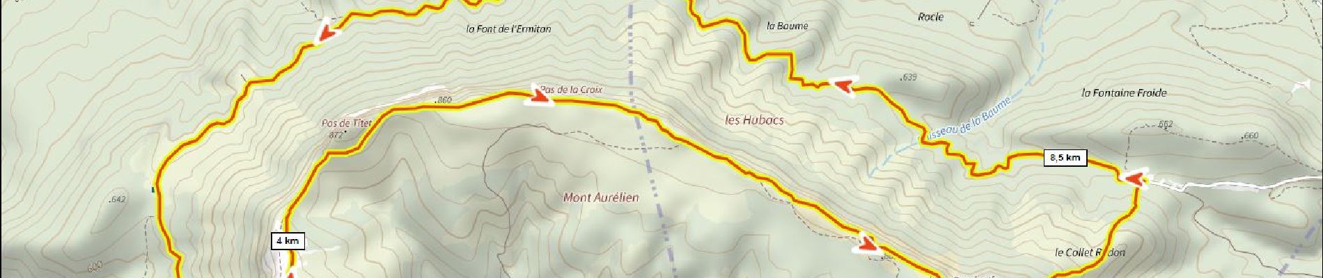
Mt Aurélien 450m+

ericberlin
User

Length
10.4 km

Max alt
875 m

Uphill gradient
450 m
Km-Effort
16.4 km

Min alt
576 m

Downhill gradient
445 m
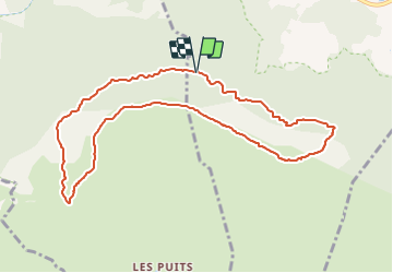
Boucle
Yes
Creation date :
2023-06-14 14:43:47.069
Updated on :
2023-06-14 14:47:19.995
3h43
Difficulty : Difficult

FREE GPS app for hiking
 SityTrail
IGN / Geographical institutes
SityTrail Plus
The world is yours!
About
Trail Walking of 10.4 km to be discovered at Provence-Alpes-Côte d'Azur, Var, Pourcieux. This trail is proposed by ericberlin.
Photos

Positioning
Country:
France
Region :
Provence-Alpes-Côte d'Azur
Department/Province :
Var
Municipality :
Pourcieux
Location:
Unknown
Start:(Dec)
Start:(UTM)
724728 ; 4815063 (31T) N.
Comments