


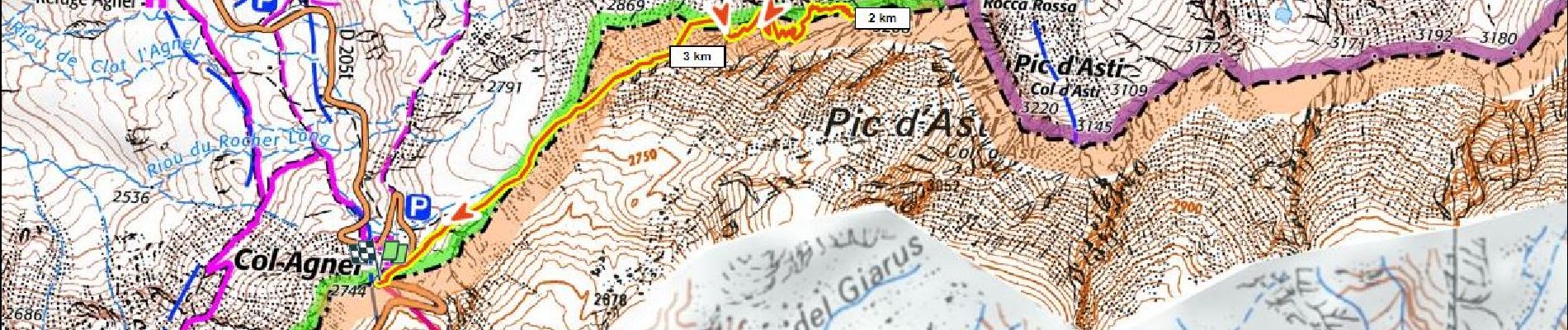
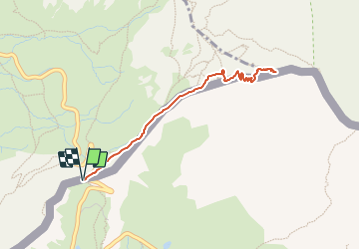
Pain de Sucre 400m+ depuis le col Agnel

ericberlin
User

Length
4.2 km

Max alt
3145 m

Uphill gradient
400 m
Km-Effort
9.6 km

Min alt
2738 m

Downhill gradient
400 m
Boucle
Yes
Creation date :
2023-06-14 14:55:56.636
Updated on :
2023-06-14 15:04:00.457
2h10
Difficulty : Medium

FREE GPS app for hiking
 SityTrail
IGN / Geographical institutes
SityTrail Plus
The world is yours!
About
Trail Walking of 4.2 km to be discovered at Piemont, Cuneo, Pontechianale. This trail is proposed by ericberlin.
Description
Un "3000" facile mais attention aux conditions de haute montagne, neige au début de l'été, orages fréquents après 11h.
Un panorama à decouvrir au lever du soleil.
Refuge Agnel à proximité du départ
Photos

Positioning
Country:
Italy
Region :
Piemont
Department/Province :
Cuneo
Municipality :
Pontechianale
Location:
Unknown
Start:(Dec)
Start:(UTM)
339864 ; 4949812 (32T) N.
Comments