


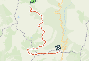
Refuge de Capannelle-refuge du col de Verde

Lobin
User

Length
15.6 km

Max alt
1741 m

Uphill gradient
533 m
Km-Effort
24 km

Min alt
1274 m

Downhill gradient
846 m
Boucle
No
Creation date :
2023-06-12 03:57:08.0
Updated on :
2023-06-21 17:03:35.207
5h49
Difficulty : Difficult

FREE GPS app for hiking
 SityTrail
IGN / Geographical institutes
SityTrail Plus
The world is yours!
About
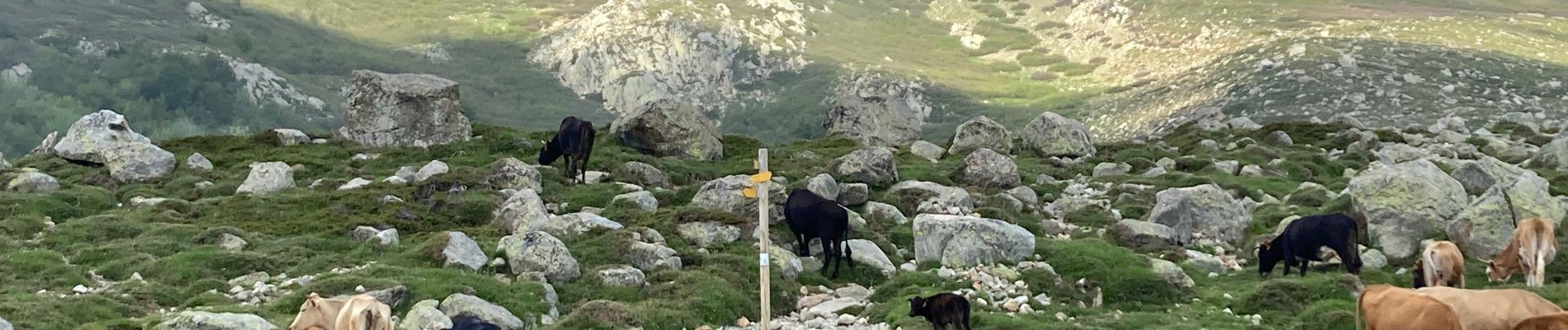
Trail Walking of 15.6 km to be discovered at Corsica, Haute-Corse, Ghisoni. This trail is proposed by Lobin.
Description
En passant par la Bergerie Pozzi
Photos


Positioning
Country:
France
Region :
Corsica
Department/Province :
Haute-Corse
Municipality :
Ghisoni
Location:
Unknown
Start:(Dec)
Start:(UTM)
512412 ; 4658322 (32T) N.
Comments