


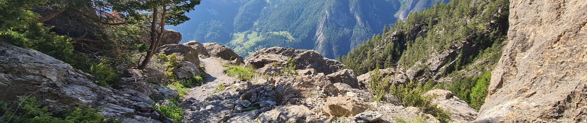
Queyras 03 - Refuge de Furfande - Monbardon - via Bramousse

uru2010
User


Length
16.2 km

Max alt
2288 m

Uphill gradient
685 m
Km-Effort
28 km

Min alt
1188 m

Downhill gradient
1465 m
Boucle
No
Creation date :
2023-06-15 05:59:12.765
Updated on :
2023-06-15 17:23:21.092
8h31
Difficulty : Difficult

FREE GPS app for hiking
 SityTrail
IGN / Geographical institutes
SityTrail Plus
The world is yours!
About
Trail Walking of 16.2 km to be discovered at Provence-Alpes-Côte d'Azur, Hautes-Alpes, Arvieux. This trail is proposed by uru2010.
Photos


Positioning
Country:
France
Region :
Provence-Alpes-Côte d'Azur
Department/Province :
Hautes-Alpes
Municipality :
Arvieux
Location:
Unknown
Start:(Dec)
Start:(UTM)
318825 ; 4955244 (32T) N.
Comments