


Vallon de la Mauvelle et des Ouides

cousam
User
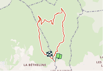

Length
9.6 km

Max alt
385 m

Uphill gradient
233 m
Km-Effort
12.7 km

Min alt
189 m

Downhill gradient
219 m
Boucle
Yes
Creation date :
2023-06-16 05:59:04.992
Updated on :
2023-06-16 13:29:14.657
3h02
Difficulty : Difficult

FREE GPS app for hiking
 SityTrail
IGN / Geographical institutes
SityTrail Plus
The world is yours!
About
Trail Walking of 9.6 km to be discovered at Provence-Alpes-Côte d'Azur, Bouches-du-Rhône, Plan-de-Cuques. This trail is proposed by cousam.
Description
Prévoir petite corde pour le vallon des Ouides
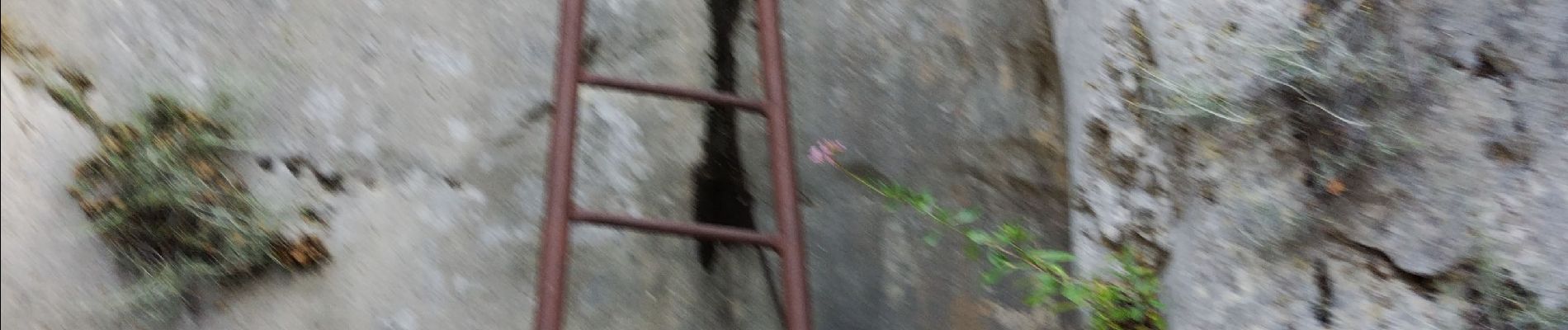
Photos


Positioning
Country:
France
Region :
Provence-Alpes-Côte d'Azur
Department/Province :
Bouches-du-Rhône
Municipality :
Plan-de-Cuques
Location:
Unknown
Start:(Dec)
Start:(UTM)
699638 ; 4803985 (31T) N.
Comments