


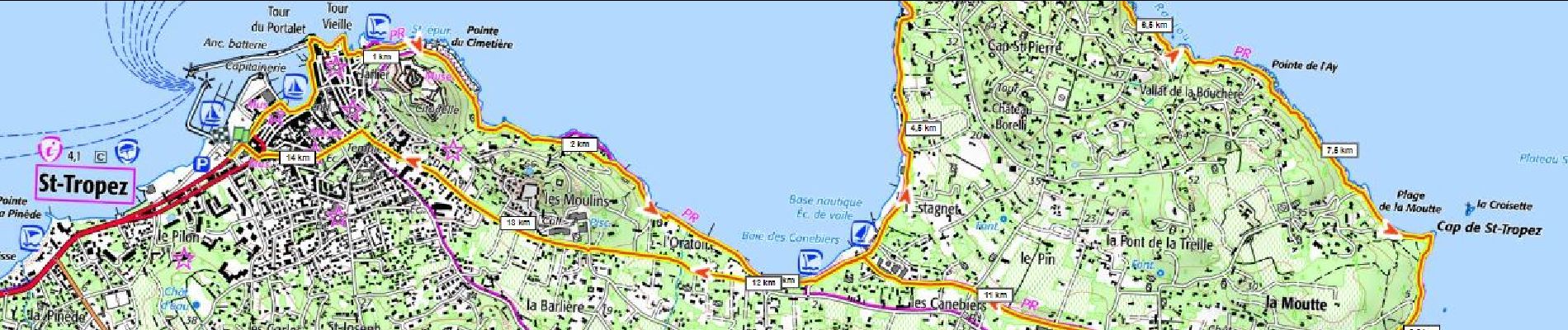
Cap St Tropez 150m+

ericberlin
User

Length
14.4 km

Max alt
27 m

Uphill gradient
147 m
Km-Effort
16.3 km

Min alt
0 m

Downhill gradient
147 m
Boucle
Yes
Creation date :
2023-06-16 15:51:08.511
Updated on :
2023-06-16 15:55:18.924
4h00
Difficulty : Difficult

FREE GPS app for hiking
 SityTrail
IGN / Geographical institutes
SityTrail Plus
The world is yours!
About
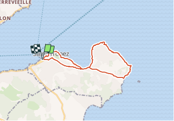
Trail Walking of 14.4 km to be discovered at Provence-Alpes-Côte d'Azur, Var, Saint-Tropez. This trail is proposed by ericberlin.
Photos

Positioning
Country:
France
Region :
Provence-Alpes-Côte d'Azur
Department/Province :
Var
Municipality :
Saint-Tropez
Location:
Unknown
Start:(Dec)
Start:(UTM)
308046 ; 4793462 (32T) N.
Comments