


Source de l'Huveaune 130m+ depuis St Zacharie

ericberlin
User


Length
7.7 km

Max alt
488 m

Uphill gradient
132 m
Km-Effort
9.5 km

Min alt
413 m

Downhill gradient
132 m
Boucle
Yes
Creation date :
2023-06-16 16:53:03.389
Updated on :
2023-06-16 17:06:25.295
2h09
Difficulty : Medium

FREE GPS app for hiking
 SityTrail
IGN / Geographical institutes
SityTrail Plus
The world is yours!
About
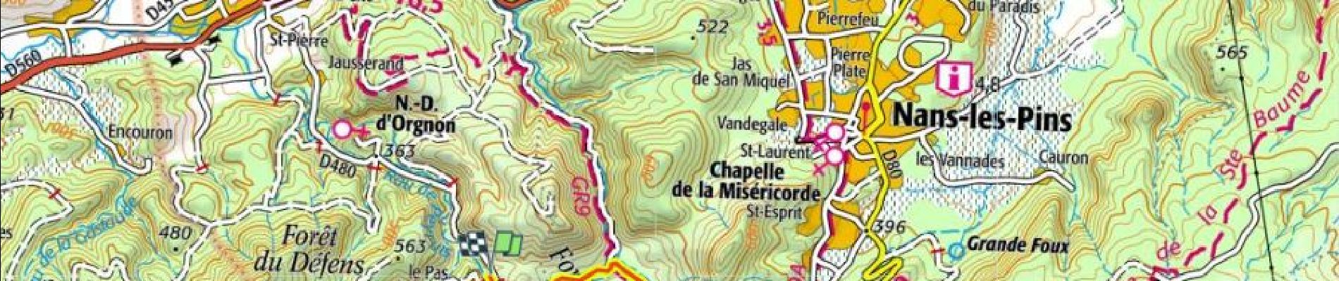
Trail Walking of 7.7 km to be discovered at Provence-Alpes-Côte d'Azur, Var, Saint-Zacharie. This trail is proposed by ericberlin.
Photos

Positioning
Country:
France
Region :
Provence-Alpes-Côte d'Azur
Department/Province :
Var
Municipality :
Saint-Zacharie
Location:
Unknown
Start:(Dec)
Start:(UTM)
721678 ; 4804096 (31T) N.
Comments