


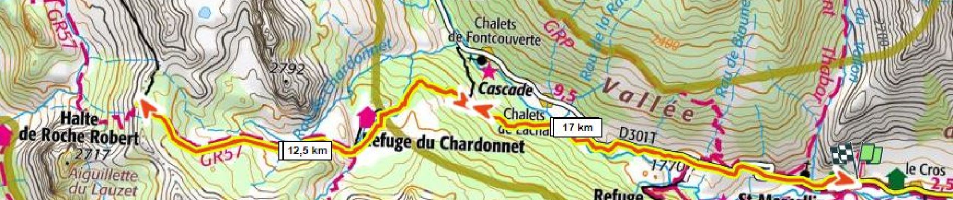
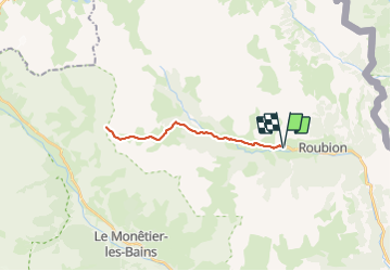
Col du Chardonnet 1100m+ 2638m par le refuge

ericberlin
User

Length
21 km

Max alt
2637 m

Uphill gradient
1090 m
Km-Effort
36 km

Min alt
1598 m

Downhill gradient
1090 m
Boucle
Yes
Creation date :
2023-06-16 19:38:05.877
Updated on :
2023-06-16 19:52:05.568
11h40
Difficulty : Difficult

FREE GPS app for hiking
 SityTrail
IGN / Geographical institutes
SityTrail Plus
The world is yours!
About
Trail Snowshoes of 21 km to be discovered at Provence-Alpes-Côte d'Azur, Hautes-Alpes, Névache. This trail is proposed by ericberlin.
Description
https://www.refugechardonnet.fr/
Panorama superbe sur le massif des Ecrins
Photos

Positioning
Country:
France
Region :
Provence-Alpes-Côte d'Azur
Department/Province :
Hautes-Alpes
Municipality :
Névache
Location:
Unknown
Start:(Dec)
Start:(UTM)
311456 ; 4987891 (32T) N.
Comments