


RA 2023 Les Polders

dfluzin
User
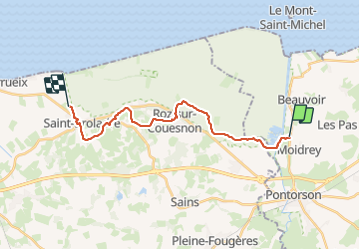

Length
18.1 km

Max alt
82 m

Uphill gradient
190 m
Km-Effort
21 km

Min alt
3 m

Downhill gradient
194 m
Boucle
No
Creation date :
2023-06-17 06:50:12.406
Updated on :
2023-06-17 15:33:09.229
5h25
Difficulty : Very difficult

FREE GPS app for hiking
 SityTrail
IGN / Geographical institutes
SityTrail Plus
The world is yours!
About
Trail Walking of 18.1 km to be discovered at Normandy, Manche, Pontorson. This trail is proposed by dfluzin.
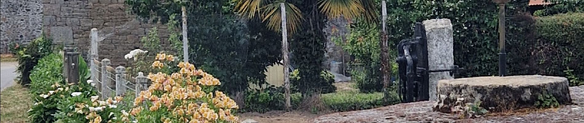
Photos


Positioning
Country:
France
Region :
Normandy
Department/Province :
Manche
Municipality :
Pontorson
Location:
Pontorson
Start:(Dec)
Start:(UTM)
609691 ; 5381968 (30U) N.
Comments