Trail Walking Saint-Dalmas-le-Selvage - 
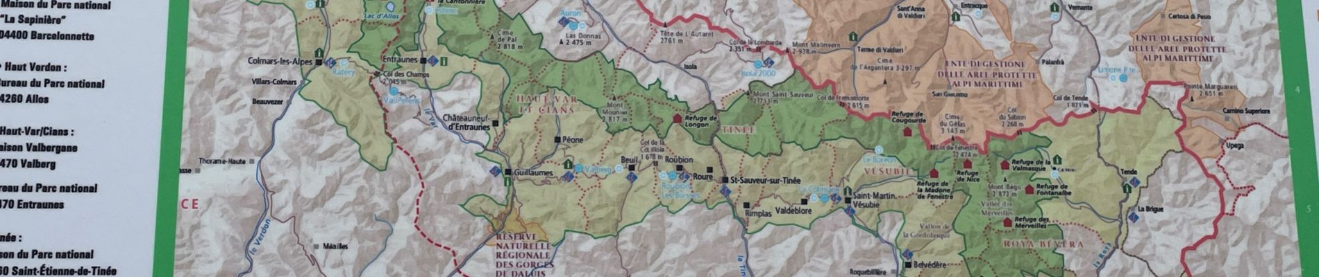
Mercantour : Col des Fourches  - Photo
 ETMU5496
ETMU5496

User

© OpenStreetMap contributors
Length
Length
8.7 km
Max alt
Max alt
2748 m
Uphill gradient
Uphill gradient
569 m
Km-Effort
Km-Effort  
16.3 km
Min alt
Min alt
2256 m
Downhill gradient
Downhill gradient
570 m
Boucle
Boucle
Yes
Creation date :
2023-06-09 07:14:48.0
Updated on :
2023-07-08 13:13:44.954

(0 Reviews)

Walking
Walking
3h05
Difficulty : Medium

Scan this QR Code to open this trail in the SityTrail application

FREE GPS app for hiking

Logo SityTrail SityTrail

IGN / Geographical institutes

Download SityTrail from the App Store Download SityTrail from Google Play

Logo SityTrail SityTrail Plus

The world is yours!

Download SityTrail from the App Store Download SityTrail from Google Play Download SityTrail on Huawei AppGallery

About

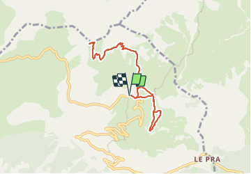
Trail Walking of 8.7 km to be discovered at Provence-Alpes-Côte d'Azur, Maritime Alps, Saint-Dalmas-le-Selvage. This trail is proposed by ETMU5496.

Description

Courte randonnée mais exigeante au final de la cime de la Pelouzette.
Poursuite au col des Fourches et son fortin

Elevation profile

Photos

42 photos in total. Please click on a photo to see them all in the gallery.

Positioning

Country:
France
Region :
Provence-Alpes-Côte d'Azur
Department/Province :
Maritime Alps
Municipality :
Saint-Dalmas-le-Selvage
Location:
Unknown
Start:(UTM)
329828 ; 4911178 (32T) N.


Close
My subscriptions