


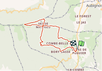
val Saint donat 19kms 916m

Danielba
User GUIDE

Length
19.4 km

Max alt
1434 m

Uphill gradient
926 m
Km-Effort
32 km

Min alt
576 m

Downhill gradient
925 m
Boucle
Yes
Creation date :
2023-06-18 06:35:52.052
Updated on :
2023-06-18 16:47:41.922
8h15
Difficulty : Easy

FREE GPS app for hiking
 SityTrail
IGN / Geographical institutes
SityTrail Plus
The world is yours!
About
Trail Walking of 19.4 km to be discovered at Provence-Alpes-Côte d'Azur, Alpes-de-Haute-Provence, Châteauneuf-Val-Saint-Donat. This trail is proposed by Danielba .
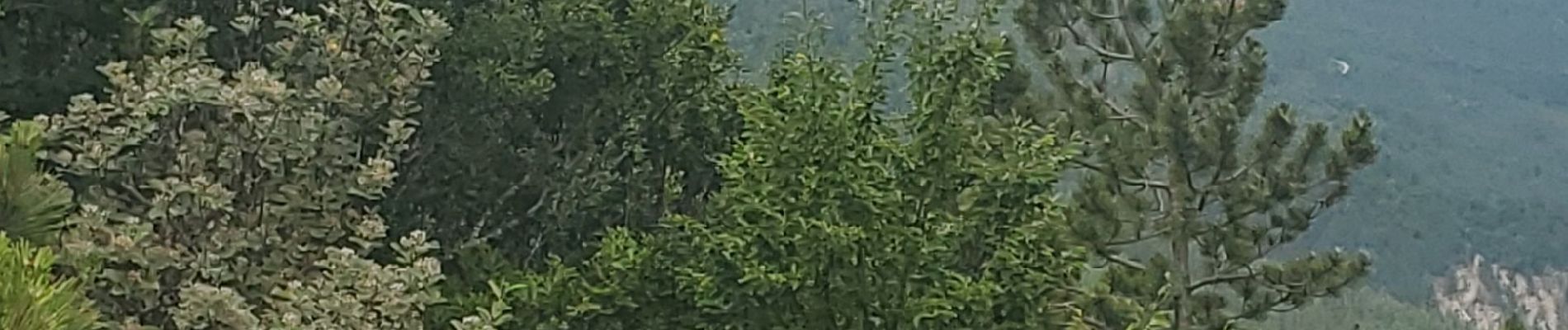
Photos


Positioning
Country:
France
Region :
Provence-Alpes-Côte d'Azur
Department/Province :
Alpes-de-Haute-Provence
Municipality :
Châteauneuf-Val-Saint-Donat
Location:
Unknown
Start:(Dec)
Start:(UTM)
735991 ; 4886222 (31T) N.
Comments