


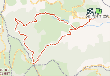


18.1 km | 28 km-effort


User


FREE GPS app for hiking
 SityTrail
IGN / Geographical institutes
SityTrail World
The world is yours!
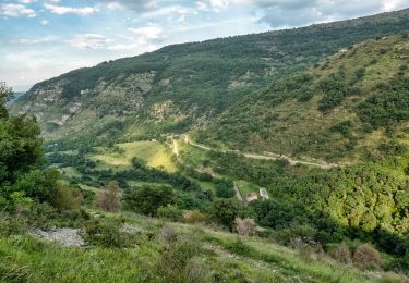
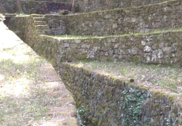
Trail Walking of 12.7 km to be discovered at Auvergne-Rhône-Alpes, Ardèche, Saint-Priest. This trail is proposed by Delahalle.
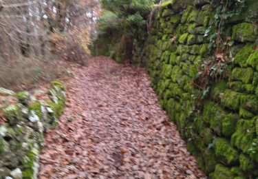
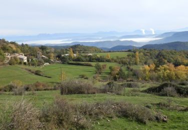
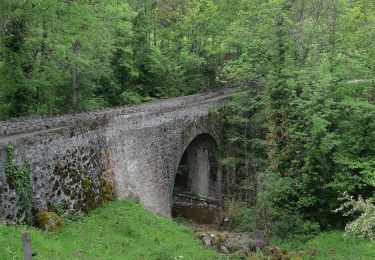
Parcours très agréable, de beaux points de vue, une très belle forêt et une fin de parcours dans les gorges de l'Ouvèze magnifique.
Walking
Walking

Walking
Walking
Walking

Walking

Walking
Walking
Walking