


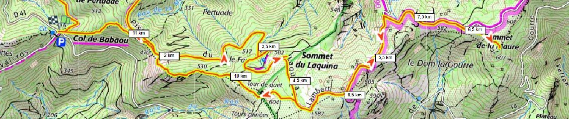
Sommet des Maures 606m 320m+ depuis col de Babaou

ericberlin
User

Length
11.5 km

Max alt
603 m

Uphill gradient
318 m
Km-Effort
15.7 km

Min alt
413 m

Downhill gradient
318 m
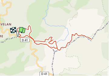
Boucle
Yes
Creation date :
2023-06-21 12:28:06.581
Updated on :
2023-06-21 12:31:14.733
3h34
Difficulty : Difficult

FREE GPS app for hiking
 SityTrail
IGN / Geographical institutes
SityTrail Plus
The world is yours!
About
Trail Walking of 11.5 km to be discovered at Provence-Alpes-Côte d'Azur, Var, Collobrières. This trail is proposed by ericberlin.
Photos

Positioning
Country:
France
Region :
Provence-Alpes-Côte d'Azur
Department/Province :
Var
Municipality :
Collobrières
Location:
Unknown
Start:(Dec)
Start:(UTM)
281001 ; 4787022 (32T) N.
Comments