


Ermitages Alaior

Vinceneux
User

Length
8.9 km

Max alt
84 m

Uphill gradient
97 m
Km-Effort
10.2 km

Min alt
12 m

Downhill gradient
97 m
Boucle
Yes
Creation date :
2023-06-22 07:23:15.992
Updated on :
2023-06-22 09:43:48.437
2h04
Difficulty : Medium

FREE GPS app for hiking
 SityTrail
IGN / Geographical institutes
SityTrail Plus
The world is yours!
About
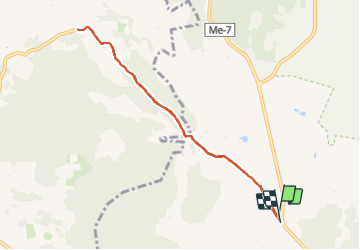
Trail Walking of 8.9 km to be discovered at Balearic Islands, Unknown, Maó. This trail is proposed by Vinceneux.
Positioning
Country:
Spain
Region :
Balearic Islands
Department/Province :
Unknown
Municipality :
Maó
Location:
Unknown
Start:(Dec)
Start:(UTM)
604324 ; 4421061 (31S) N.
Comments