


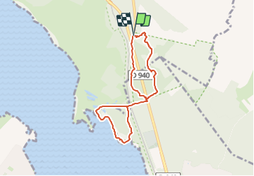
LP80_ETAPLES_Reserve-Baie-de-Canches_6.2km

BAIE de SOMME & alentours
Autour de la Baie à pieds

Length
6.2 km

Max alt
67 m

Uphill gradient
98 m
Km-Effort
7.5 km

Min alt
4 m

Downhill gradient
91 m
Boucle
Yes
Creation date :
2023-06-22 21:27:32.554
Updated on :
2025-03-25 16:44:25.641
1h41
Difficulty : Medium

FREE GPS app for hiking
 SityTrail
IGN / Geographical institutes
SityTrail Plus
The world is yours!
About
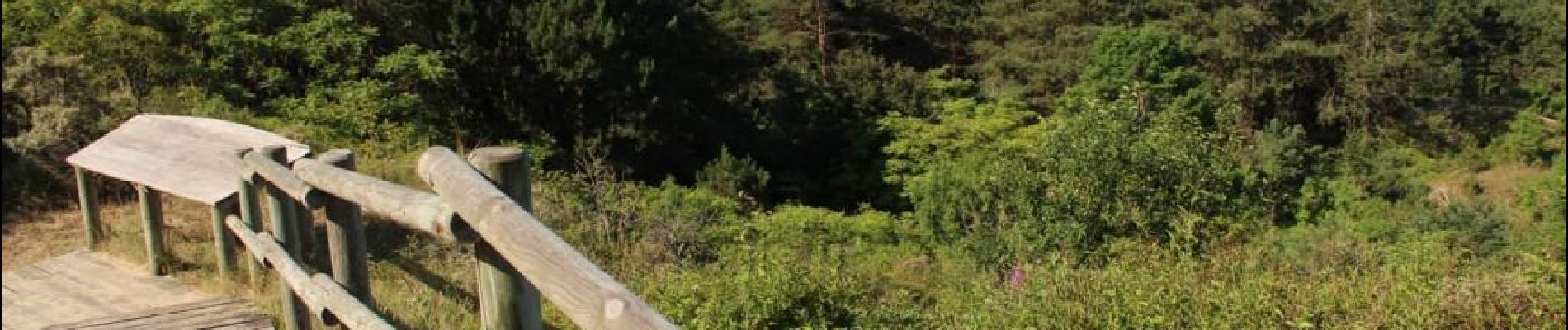
Trail Walking of 6.2 km to be discovered at Hauts-de-France, Pas-de-Calais, Camiers. This trail is proposed by BAIE de SOMME & alentours.
Photos

Positioning
Country:
France
Region :
Hauts-de-France
Department/Province :
Pas-de-Calais
Municipality :
Camiers
Location:
Unknown
Start:(Dec)
Start:(UTM)
402156 ; 5600863 (31U) N.
Comments