


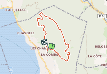

31 km | 48 km-effort

User


FREE GPS app for hiking
 SityTrail
IGN / Geographical institutes
SityTrail World
The world is yours!
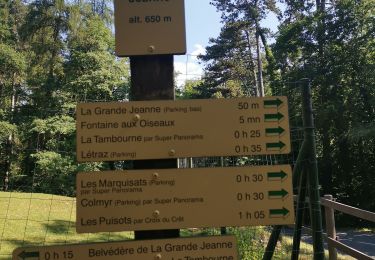
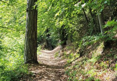
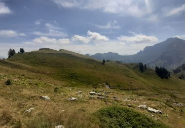
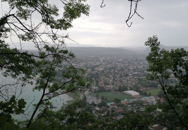
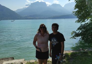
Trail Walking of 8.1 km to be discovered at Auvergne-Rhône-Alpes, Upper Savoy, Veyrier-du-Lac. This trail is proposed by himba26100.
belle rando ombragée avec vue lac
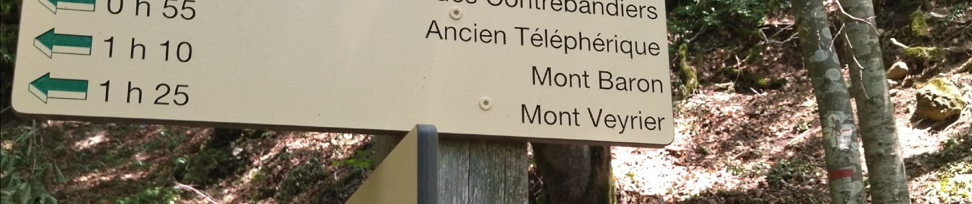
pk difficile
chant.pat.


Mountain bike
Walking
Hybrid bike
Walking
Walking
Walking
Walking
On foot
Bicycle tourism