Trail Other activity Roggwil (BE) - y10_grenzpfad_napfbergland - Photo

Optez pour le retour à la nature GUIDE+

© OpenStreetMap contributors
Length
Length
107 km
Max alt
Max alt
2322 m
Uphill gradient
Uphill gradient
5269 m
Km-Effort
Km-Effort  
176 km
Min alt
Min alt
439 m
Downhill gradient
Downhill gradient
4703 m
Boucle
Boucle
No
Creation date :
2014-12-10 00:00:00.0
Updated on :
2014-12-10 00:00:00.0

(0 Reviews)

Other activity
Other activity
41h31
Difficulty : Unknown

Scan this QR Code to open this trail in the SityTrail application

FREE GPS app for hiking

Logo SityTrail SityTrail

IGN / Geographical institutes

Download SityTrail from the App Store Download SityTrail from Google Play

Logo SityTrail SityTrail Plus

The world is yours!

Download SityTrail from the App Store Download SityTrail from Google Play Download SityTrail on Huawei AppGallery

About

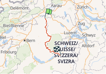
Trail Other activity of 107 km to be discovered at Bern, Oberaargau administrative district, Roggwil (BE). This trail is proposed by My Switzerland.

Elevation profile

Points of interest

Point of interest Roggwil (BE) - Langenthal - Photo
My Switzerland
ROGGWIL (BE) 
Point of interest Huttwil - Huttwil - Photo
My Switzerland
HUTTWIL 
Point of interest Trub - Napf - Photo
My Switzerland
TRUB 
Point of interest Trubschachen - Trubschachen - Photo
My Switzerland
TRUBSCHACHEN 
Point of interest Escholzmatt-Marbach - Marbach - Photo
My Switzerland
ESCHOLZMATT-MARBACH 
Point of interest Brienz (BE) - Brienzer Rothorn - Photo
My Switzerland
BRIENZ (BE) 
Point of interest Meiringen - Brünigpass - Photo
My Switzerland
MEIRINGEN 

Positioning

Country:
Switzerland
Region :
Bern
Department/Province :
Oberaargau administrative district
Municipality :
Roggwil (BE)
Location:
Unknown
Start:(UTM)
411875 ; 5231619 (32T) N.


Close
My subscriptions