


TRESCLEOUX .GRANGES DE CHANOUSSE O

RobinMicheline
User GUIDE
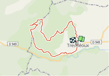

Length
9.7 km

Max alt
1153 m

Uphill gradient
534 m
Km-Effort
16.8 km

Min alt
673 m

Downhill gradient
541 m
Boucle
Yes
Creation date :
2023-06-27 05:57:12.708
Updated on :
2023-06-27 13:27:08.161
3h50
Difficulty : Medium

FREE GPS app for hiking
 SityTrail
IGN / Geographical institutes
SityTrail Plus
The world is yours!
About
Trail Walking of 9.7 km to be discovered at Provence-Alpes-Côte d'Azur, Hautes-Alpes, Trescléoux. This trail is proposed by RobinMicheline.
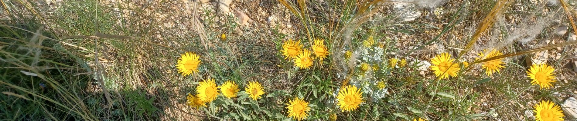
Photos


Positioning
Country:
France
Region :
Provence-Alpes-Côte d'Azur
Department/Province :
Hautes-Alpes
Municipality :
Trescléoux
Location:
Unknown
Start:(Dec)
Start:(UTM)
715849 ; 4914807 (31T) N.
Comments