


14.5 km | 20 km-effort

User


FREE GPS app for hiking
 SityTrail
IGN / Geographical institutes
SityTrail World
The world is yours!
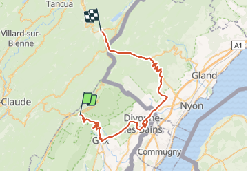
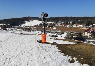
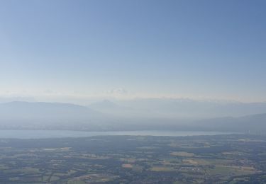
Trail Bicycle tourism of 54 km to be discovered at Auvergne-Rhône-Alpes, Ain, Mijoux. This trail is proposed by jean-marie.parachini.
parcours par la Cure D1005 jusqu'au col puis descente sur Gex et poursuite sur Divonne.
Retour par Grens Gingins et montée sur Saint Cergue et col de la Givrine


Walking

Cycle

Running

Walking
Walking
Walking
Snowshoes
Walking
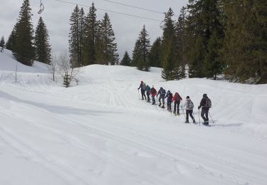
Snowshoes