


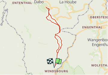
Windsbourg Dabo

oscar1
User

Length
14.3 km

Max alt
809 m

Uphill gradient
404 m
Km-Effort
19.7 km

Min alt
563 m

Downhill gradient
402 m
Boucle
Yes
Creation date :
2023-06-28 07:32:41.949
Updated on :
2023-06-28 19:07:49.999
3h06
Difficulty : Easy

FREE GPS app for hiking
 SityTrail
IGN / Geographical institutes
SityTrail Plus
The world is yours!
About
Trail Walking of 14.3 km to be discovered at Grand Est, Moselle, Dabo. This trail is proposed by oscar1.
Description
Au départ du col de la Sandplatz. Randonnée sans difficulté particulère, qui passe par le Col de la Wetzlach, le Backofenfelsen,Col de la Schleif et le Rocher du Dabo.
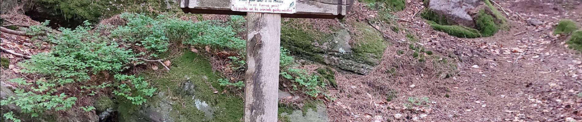
Photos


Positioning
Country:
France
Region :
Grand Est
Department/Province :
Moselle
Municipality :
Dabo
Location:
Unknown
Start:(Dec)
Start:(UTM)
371338 ; 5384843 (32U) N.
Comments