


Col Agnel col Vieux lac Foréant 28 juin 2023

rlebasque
User
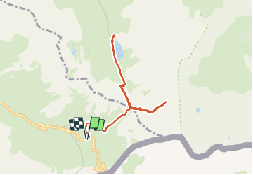

Length
10.9 km

Max alt
2872 m

Uphill gradient
578 m
Km-Effort
18.6 km

Min alt
2611 m

Downhill gradient
579 m
Boucle
Yes
Creation date :
2023-06-28 06:16:34.504
Updated on :
2023-06-28 13:58:21.59
6h39
Difficulty : Difficult

FREE GPS app for hiking
 SityTrail
IGN / Geographical institutes
SityTrail Plus
The world is yours!
About
Trail Walking of 10.9 km to be discovered at Provence-Alpes-Côte d'Azur, Hautes-Alpes, Molines-en-Queyras. This trail is proposed by rlebasque.
Positioning
Country:
France
Region :
Provence-Alpes-Côte d'Azur
Department/Province :
Hautes-Alpes
Municipality :
Molines-en-Queyras
Location:
Unknown
Start:(Dec)
Start:(UTM)
339628 ; 4950525 (32T) N.
Comments