Trail Walking Bouville - Bouville - Photo
 guydu41
guydu41

User

© OpenStreetMap contributors
Length
Length
8.4 km
Max alt
Max alt
137 m
Uphill gradient
Uphill gradient
140 m
Km-Effort
Km-Effort  
10.3 km
Min alt
Min alt
65 m
Downhill gradient
Downhill gradient
140 m
Boucle
Boucle
Yes
Creation date :
2023-07-01 07:39:30.851
Updated on :
2023-07-02 04:35:17.434

(0 Reviews)

Walking
Walking
2h20
Difficulty : Medium

Scan this QR Code to open this trail in the SityTrail application

FREE GPS app for hiking

Logo SityTrail SityTrail

IGN / Geographical institutes

Download SityTrail from the App Store Download SityTrail from Google Play

Logo SityTrail SityTrail World

The world is yours!

Download SityTrail from the App Store Download SityTrail from Google Play Download SityTrail on Huawei AppGallery

About

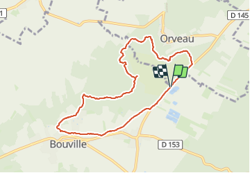
Trail Walking of 8.4 km to be discovered at Ile-de-France, Essonne, Bouville. This trail is proposed by guydu41.

Description

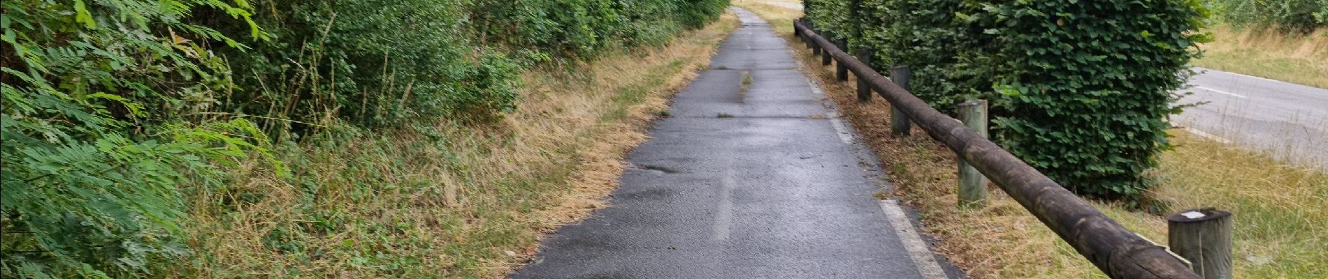
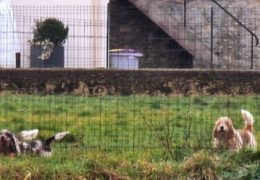
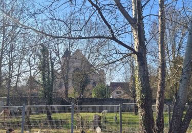
Très beau circuit sur de longs sentiers étroits et souvent tortueux dans les bois entre Orveaux et Bouville.
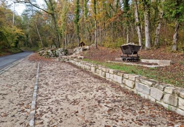
Quelques petits passages assez pentus.
Possibilité d'explorer une petite cavité souterraine avec deux ouvertures.

Elevation profile

Photos

Positioning

Country:
France
Region :
Ile-de-France
Department/Province :
Essonne
Municipality :
Bouville
Location:
Unknown
Start:(UTM)
447742 ; 5365448 (31U) N.

Trails nearby

Trail Walking La Ferté-Alais - la ferté alais la sablière - Photo
Walking
mdsaintjalmes

Walking

Medium
(2)
La Ferté-Alais, Ile-de-France, Essonne, France
12.5 km | 14.8 km-effort
3h 15min
Yes
Trail Walking Boissy-le-Cutté - Boissy-le-Cutté  - Photo
Walking
guydu41

Walking

Medium
Boissy-le-Cutté, Ile-de-France, Essonne, France
8.4 km | 10.4 km-effort
2h 22min
Yes
Trail Walking La Ferté-Alais - La Ferté Alais - Photo
Walking
guydu41

Walking

Medium
La Ferté-Alais, Ile-de-France, Essonne, France
7.7 km | 9 km-effort
2h 2min
Yes
Trail Walking Vayres-sur-Essonne - Boucle 30 km à partir de Vayres / Essonne - Photo
Walking
chessyca

Walking

Medium
Vayres-sur-Essonne, Ile-de-France, Essonne, France
28 km | 34 km-effort
5h 45min
Yes
Trail Walking La Ferté-Alais - Boucle Cerny - Photo
Walking
chessyca

Walking

Medium
La Ferté-Alais, Ile-de-France, Essonne, France
22 km | 26 km-effort
4h 38min
Yes
Trail Walking Boissy-le-Cutté - Boucle des Ravelins, circuit balisé bleu au départ de Boissy-le-Cutté - Photo
Walking
guydu41

Walking

Difficult
Boissy-le-Cutté, Ile-de-France, Essonne, France
7.8 km | 9.6 km-effort
2h 26min
Yes
Trail On foot La Ferté-Alais - Boucle Orveau - Ferté Alais 27 km - Photo
On foot
chessyca

On foot

Difficult
La Ferté-Alais, Ile-de-France, Essonne, France
27 km | 33 km-effort
7h 26min
Yes
Trail Walking Villeneuve-sur-Auvers - 2013-09-09 Villeneuve sur Auvers - Photo
Walking
jchezlemas

Walking

Easy
(1)
Villeneuve-sur-Auvers, Ile-de-France, Essonne, France
19.5 km | 22 km-effort
4h 49min
Yes
Trail Walking Villeneuve-sur-Auvers - Site géologique et Trou du sarrazin - Villeneuve-sur-Auvers - Photo
Walking
guydu41

Walking

Easy
Villeneuve-sur-Auvers, Ile-de-France, Essonne, France
1.9 km | 2.6 km-effort
1h 41min
Yes


Close
My subscriptions