


la tour

topophil
User
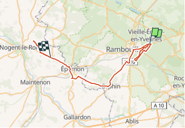

Length
51 km

Max alt
180 m

Uphill gradient
373 m
Km-Effort
56 km

Min alt
111 m

Downhill gradient
392 m
Boucle
No
Creation date :
2023-06-28 07:35:05.416
Updated on :
2023-07-02 07:01:37.648
23h22
Difficulty : Very difficult

FREE GPS app for hiking
 SityTrail
IGN / Geographical institutes
SityTrail Plus
The world is yours!
About
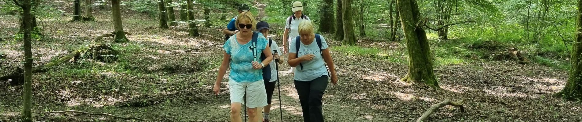
Trail Walking of 51 km to be discovered at Ile-de-France, Yvelines, Rambouillet. This trail is proposed by topophil.
Photos

Positioning
Country:
France
Region :
Ile-de-France
Department/Province :
Yvelines
Municipality :
Rambouillet
Location:
Unknown
Start:(Dec)
Start:(UTM)
417839 ; 5389619 (31U) N.
Comments