


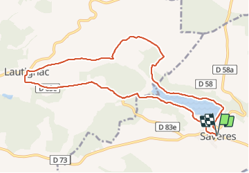
S'avère Lautignac fait 2023

pidjam
User

Length
11.1 km

Max alt
341 m

Uphill gradient
229 m
Km-Effort
14.2 km

Min alt
240 m

Downhill gradient
228 m
Boucle
Yes
Creation date :
2023-07-02 06:19:16.445
Updated on :
2023-07-02 09:31:43.977
2h43
Difficulty : Medium

FREE GPS app for hiking
 SityTrail
IGN / Geographical institutes
SityTrail Plus
The world is yours!
About
Trail Walking of 11.1 km to be discovered at Occitania, Haute-Garonne, Savères. This trail is proposed by pidjam.
Positioning
Country:
France
Region :
Occitania
Department/Province :
Haute-Garonne
Municipality :
Savères
Location:
Unknown
Start:(Dec)
Start:(UTM)
346488 ; 4803686 (31T) N.
Comments