


Buno-Bonnevaux

guydu41
User
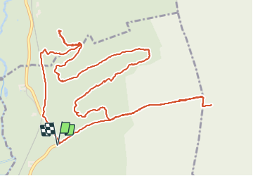


2h11
Difficulty : Medium

FREE GPS app for hiking
 SityTrail
IGN / Geographical institutes
SityTrail Plus
The world is yours!
About
Trail Walking of 7.7 km to be discovered at Ile-de-France, Essonne, Buno-Bonnevaux. This trail is proposed by guydu41.
Description
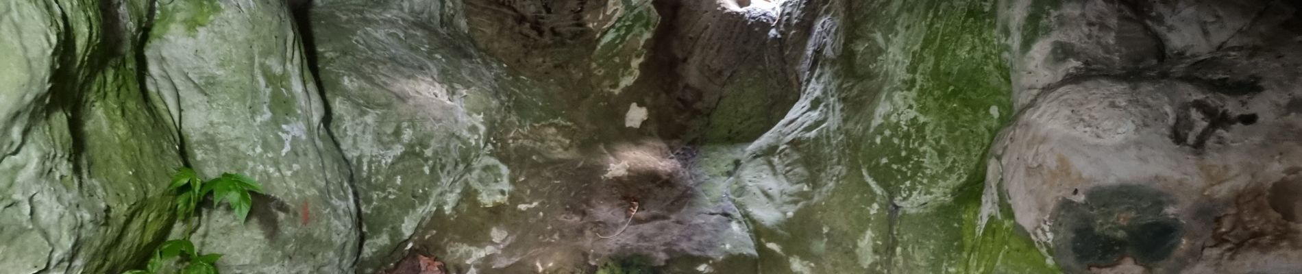
Très beau circuit sur des chemins et des sentiers dans les bois et au milieu des champs à la découverte d'un grand menhir, d'un bel abri orné de gravures datées du mésolithique et d'un autre beaucoup plus modeste.
Photos


22 photos in total. Please click on a photo to see them all in the gallery.
Positioning
Comments