


Port de Fontargente

lebarça
User
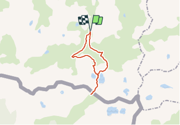

Length
11.9 km

Max alt
2267 m

Uphill gradient
624 m
Km-Effort
20 km

Min alt
1692 m

Downhill gradient
626 m
Boucle
Yes
Creation date :
2023-07-02 07:34:36.0
Updated on :
2023-07-02 14:33:46.306
6h14
Difficulty : Easy

FREE GPS app for hiking
 SityTrail
IGN / Geographical institutes
SityTrail Plus
The world is yours!
About
Trail Walking of 11.9 km to be discovered at Occitania, Ariège, Aston. This trail is proposed by lebarça.
Positioning
Country:
France
Region :
Occitania
Department/Province :
Ariège
Municipality :
Aston
Location:
Unknown
Start:(Dec)
Start:(UTM)
393728 ; 4722839 (31T) N.
Comments