


Lispach depuis Xonrupt

bolley_c_d_m
User
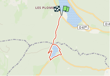

Length
5 km

Max alt
954 m

Uphill gradient
237 m
Km-Effort
8.1 km

Min alt
748 m

Downhill gradient
234 m
Boucle
Yes
Creation date :
2023-07-03 11:21:04.0
Updated on :
2023-07-03 11:21:05.853
1h51
Difficulty : Medium

FREE GPS app for hiking
 SityTrail
IGN / Geographical institutes
SityTrail Plus
The world is yours!
About
Trail Walking of 5 km to be discovered at Grand Est, Vosges, Xonrupt-Longemer. This trail is proposed by bolley_c_d_m.
Positioning
Country:
France
Region :
Grand Est
Department/Province :
Vosges
Municipality :
Xonrupt-Longemer
Location:
Unknown
Start:(Dec)
Start:(UTM)
347137 ; 5325873 (32U) N.
Comments