


LP80_Centre Equestre-Marquenterre_7km

GR77LP
User
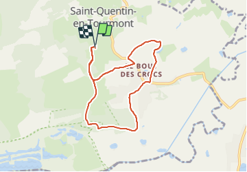

Length
7 km

Max alt
16 m

Uphill gradient
41 m
Km-Effort
7.5 km

Min alt
2 m

Downhill gradient
39 m
Boucle
Yes
Creation date :
2023-07-04 11:57:57.135
Updated on :
2023-07-04 14:58:24.15
1h42
Difficulty : Medium

FREE GPS app for hiking
 SityTrail
IGN / Geographical institutes
SityTrail Plus
The world is yours!
About
Trail Walking of 7 km to be discovered at Hauts-de-France, Somme, Saint-Quentin-en-Tourmont. This trail is proposed by GR77LP.
Description
PORTE SUD du parc du Marquenterre fermée par chaine cadenassée
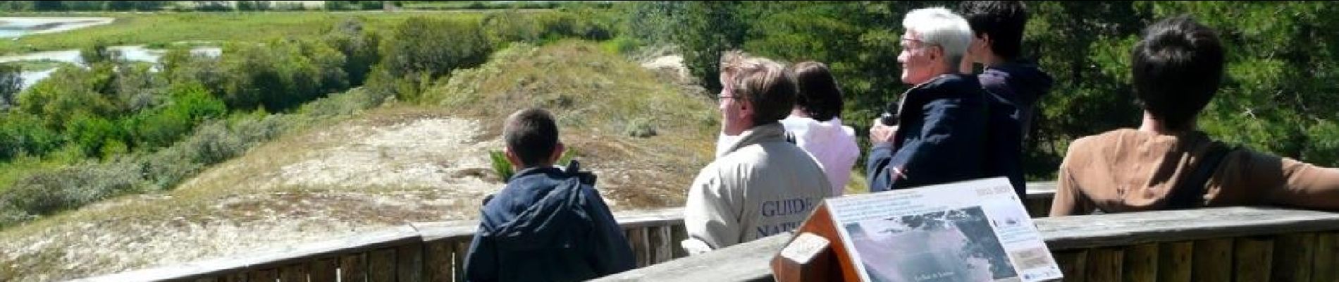
Photos

Positioning
Country:
France
Region :
Hauts-de-France
Department/Province :
Somme
Municipality :
Saint-Quentin-en-Tourmont
Location:
Unknown
Start:(Dec)
Start:(UTM)
399458 ; 5570328 (31U) N.
Comments